
Forest Grove ZIP Code Coverage
Research confirms that 97116 is used for Forest Grove City Hall and the City mailing address. That makes it a sound starting point for a Forest Grove ZIP code directory search. The research did not document every delivery route, boundary segment, postal facility, or adjacent ZIP. It would be misleading to turn that one verified use into a complete local coverage map. Confirm the code for the exact delivery address before relying on it for a property or records search.
| ZIP | Areas Covered | Post Office | Notes |
|---|---|---|---|
| 97116 | Forest Grove use is verified through City Hall and the City mailing address. | Not identified in the research. | Research verifies Forest Grove use, but does not map all boundary or route coverage. |
Postal geography is built for delivery. City government records use municipal jurisdiction, while county records may use tax lots, map numbers, and situs addresses. Those systems can overlap without being the same. A result carrying 97116 should therefore lead to address confirmation, not to an assumption that every record with that code is within city limits or belongs to one neighborhood.
Forest Grove ZIP Code Delivery Checks
The most direct way to test a postal code is the USPS ZIP Code Lookup. Enter the full delivery address there before using an address on a tax roll, a permit search, or a public-record request. USPS confirmation is especially useful when a street name is shared, abbreviated, or entered with an incomplete number. It answers a delivery question, not a question about city jurisdiction, property ownership, or everyone connected to an address.
The USPS lookup start screen documents the address-confirmation starting point for Forest Grove ZIP code directory users.
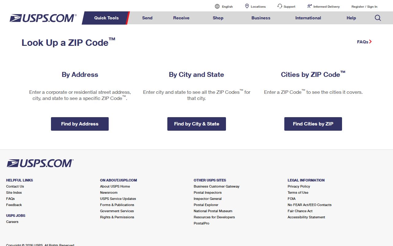
After the postal result is confirmed, preserve the full address exactly as returned when moving to a county record. A ZIP alone is too broad for the Washington County property portal, but the complete address can lead to a property identifier and legal description.
Forest Grove ZIP Code Search Limits
Washington County Public Access is the main property route for a Forest Grove address, but its guest search does not expose a separate ZIP field. Its single search box accepts an address, tax-lot ID, or property identifier. The quick results show address and Property ID, and the detailed record can provide a situs address, legal description, map number, and property information. It is an address-first portal, not a ZIP-wide resident list or a separate owner-name form.
Washington County Public Access Property Search shows the combined input and its public-display notice.
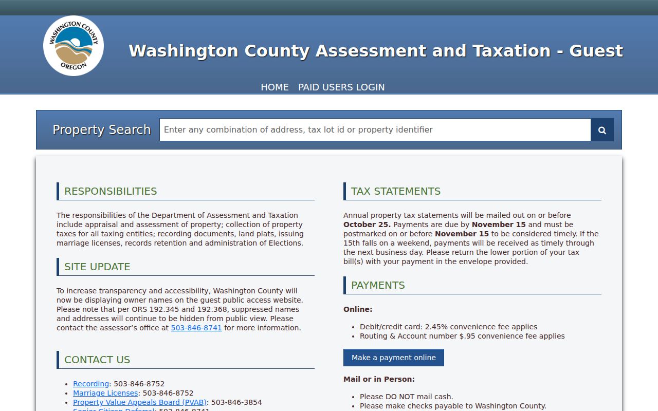
The screenshot matters because it shows why a ZIP should be used to verify the address first, rather than entered as if the portal were a ZIP filter. Where the portal displays a name or mailing address, protected names and addresses remain suppressed under Oregon law. A blank result is not proof that no record exists.
The guest search begins suggestions after three characters and removes hyphens and periods before searching. Its initial results show ADDRESS and PROPERTY ID, with a See All Results control when more than ten matches exist. The full results can also display Legal Description, plus optional Neighborhood Code, Abstract, Subdivision, and Property Type columns. Those details are useful for resolving a match after a postal check, but none creates a separate ZIP-wide search.
Forest Grove ZIP Code Field Options
Oregon Unclaimed Property is one official service that has optional City and ZIP code fields. It can help narrow a common surname after a Forest Grove connection is already known, but it is a claimant clue, not evidence of current residence. A result reflects information tied to an unclaimed asset and its holder. Do not treat a city or postal-code result as a household record, and do not submit a claim merely to inspect a result.
| Field label | Type | Required | Verified use |
|---|---|---|---|
| Last or Business Name | Text | No | Accepts a surname or business name, with two to 50 characters. |
| First Name | Text | No | Optional additional name detail. |
| City | Text | No | Limits results by city. |
| ZIP code | Text | No | Limits results by ZIP code. |
| Property ID | Text | No | Narrows a known property record. |
Oregon Unclaimed Property labels the City and ZIP fields as optional search limits. The result configuration can include an owner name, holder name, city, postal code, property-value description, and Property ID. Those fields describe the asset record, not a present-day resident directory.
Find Forest Grove Residents by ZIP
A useful ZIP-resident workflow stays narrow and makes each source answer its own question. USPS verifies postal delivery. The property search connects a verified address to a public parcel record. County Accela can accept address and ZIP information for certain county building, planning, enforcement, environmental-health, and operations records, especially where the location is outside city limits. Those records may identify a project or property context, not a list of people living nearby.
- Confirm the complete delivery address with the USPS ZIP Code Lookup.
- Enter the confirmed address in Washington County Public Access and save the Property ID, situs address, and legal description shown for the matching parcel.
- Use the address and ZIP fields in County Accela Citizen Access only when the record type fits the question.
- When the search needs a particular street rather than a postal area, use the narrower address path in the Forest Grove street directory.
The County Accela path is not a substitute for the city property roll. Its ZIP field is a documented search control, while the county property portal uses the combined address, tax-lot, or property-ID field. Keep the result type in view at every step.
A selected county property page may also separate the property address from a tax-contact mailing address. It can include map number, property type, values, improvements, tax information, and a map tab. Those fields help identify the assessed parcel. They do not turn a delivery area into a list of current occupants, and they should be checked against the legal description before a deed or title request is made.
Forest Grove ZIP Code Boundaries
A Forest Grove ZIP code boundary cannot be inferred from a city name on mail. USPS assigns ZIPs for delivery geography, whereas Forest Grove city limits govern municipal jurisdiction. The research does not provide a ZIP-boundary table, a route map, a list of neighboring ZIPs, or a local post-office assignment. For that reason, an exact address confirmation is more reliable than drawing conclusions from a broad postal label.
- ZIP code
- A postal delivery code used to sort mail. It does not by itself establish city limits, a parcel boundary, or residency.
- ZIP+4
- An added four-digit delivery segment that helps USPS sort mail more precisely within a ZIP code.
- PO Box ZIP
- A postal code assigned to post-office boxes. No local PO Box ZIP is claimed here because the research did not identify one.
- Carrier route
- A USPS delivery grouping used for mail handling. It is not a municipal district or a public resident roster.
Note: A confirmed delivery ZIP is useful for addressing mail, but it does not replace the parcel, title, or jurisdiction information needed for a records decision.
Forest Grove Parcel Maps and ZIPs
For property geography, Washington County points researchers to Intermap. The county confirms that Intermap searches by situs address, account number, or tax-lot ID. After a map object is located, Additional Information and then Assessment & Taxation Information can connect the map object to county property data. Nearby tax lots provide spatial context, but they do not identify every person on a block.
County tax maps are for property-tax purposes and are not a ground survey. For plats, surveys, corners, roads, section maps, and donation-land claims, the documented escalation channel is Survey Explorer. A tax lot is a tax-map polygon or account. It is not necessarily a legal lot of record, so the legal description remains important when comparing a postal address with a parcel.
Forest Grove Planning Geography
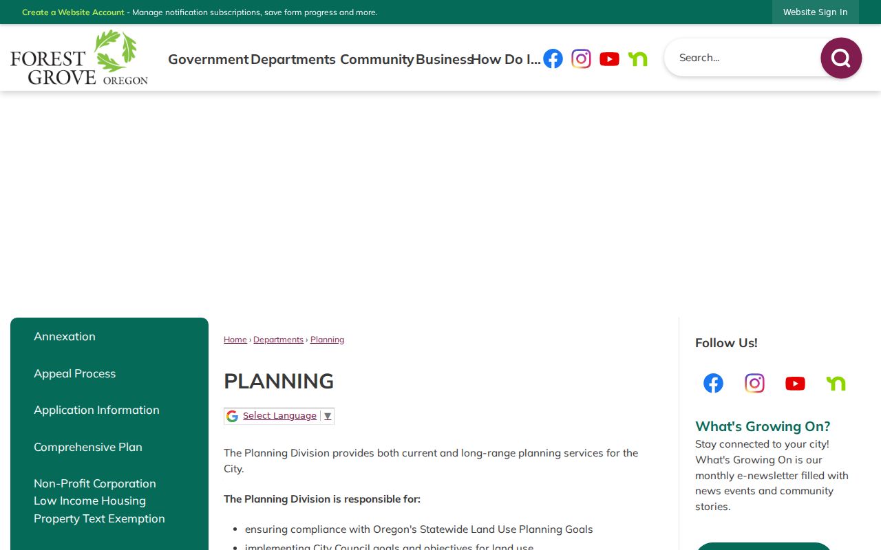
Forest Grove Planning provides zoning and land-use context, not a ZIP code directory of people. Planning administers the development code and supports the Planning Commission, Historic Landmarks Board, Community Forestry Commission, and Urban Renewal Agency. The zoning map can help explain land-use geography around a confirmed address, but it cannot prove postal delivery, ownership, or who resides there.
Forest Grove Planning links the zoning GIS and land-use resources used for that property context.
Forest Grove's historic-property work also shows why different geographies should not be blended. A 1993 City and Historic Landmarks Board project inventoried more than 300 properties in the original 1872 Town Plat. That is valuable building history, yet it is neither a postal route map nor a current resident record.
Using a Forest Grove ZIP Code Carefully
Use a Forest Grove ZIP code to confirm delivery and narrow an address-based search, then rely on the appropriate custodian for the next record. The county property portal distinguishes a situs address from a mailing address, and a mailing address can identify a tax contact without proving occupancy. City permits and planning files can date a project or describe work, but they do not establish an occupant list. Each system has a limited purpose.
When a City-held record is needed after the address is settled, the Forest Grove public-records channel routes written requests through the City Recorder. Describe the address, date range, record type, and desired delivery method. The request process can identify whether a record or copy path exists, but it cannot turn a ZIP code into a proof of private residence.