
Forest Grove Neighbors by Block
Public channels can document the parcel around a Forest Grove address and the property geography around it. They do not create a public household directory. Washington County Public Access begins with an address, account, tax-lot ID, or property identifier. It returns a property ID, situs address, and legal description, with owner and mailing information separately displayed when not protected. Intermap then supplies nearby tax-lot context. A recorded document or title channel is the better route when the question is ownership history rather than map context.
| Source | What It Shows About a Block | Access |
|---|---|---|
| Washington County Public Access | Property ID, situs address, legal description, and unsuppressed owner or mailing data for a selected parcel. | Free guest search by address, tax lot, or property identifier. |
| Intermap | Parcel and tax-lot geography, map context, and nearby tax lots. | Search by situs address, account number, or tax-lot ID. |
| County Recording | Recorded deeds, mortgages, liens, and legal-description continuity. | Suite 130 public-research computers confirm Book of Records index and images from 1979 forward. |
| City Archive and Planning | Permit activity, historic-landmarks material, zoning, and project context for an address. | Archive search, planning resources, or a City Recorder request. |
| Oregon voter-list process | A lawful list request may be geographically scoped. | Request process, not a public Forest Grove street browser. |
A property portal separates the situs from the mailing address. The situs is the assessed parcel location. A mailing address identifies the tax contact and does not show every person connected to the property. County notices also state that qualifying protected names and addresses remain suppressed under ORS 192.345 and 192.368.
Mapping Forest Grove Neighbors
The reliable block method moves from an exact address to a parcel identifier, then to nearby tax lots, and finally to the record that can verify a title question. It avoids treating a map label, mailing address, or surname match as final proof. The legal description and map number are especially helpful because a current street number is only one way a property may be identified across public records.
- Enter the verified address in Washington County Public Access Property Search and select the matching property.
- Record the Property ID, situs address, legal description, and map number shown on the property detail.
- Use the address, account number, or tax-lot ID in Intermap to view the surrounding tax lots.
- For a recorded or title question, compare the legal description through the Recording Office and its public-research channel rather than relying on a map alone.
That is a block-scale process. When the question expands to the record chain along a named street, the Forest Grove street directory uses the broader address-by-address approach.
Forest Grove Neighbor Parcel Tools
Washington County Maps and GIS is the county entry point for parcel and mapping channels, while Intermap is the documented parcel and tax-lot viewer. Its property-tax function gives spatial context for nearby lots, assessment maps, access, and major utility easements. The County describes those maps as tax-purpose maps, not a ground survey. That limitation matters whenever a Forest Grove neighbor question depends on an exact line or recorded easement.
Use Survey Explorer when the issue involves plats, surveys, corners, roads, section maps, or donation-land claims. A tax lot is a tax-map polygon or account, and it is not necessarily a legal lot of record. The map is useful to see which parcels are nearby. The legal description and title record resolve the legal relationship between them.
Forest Grove Neighbor Property Details
The county property-detail screen can show more than the quick search result. Where applicable, it lists a property ID, property address, owner information, mailing address, legal description, map number, property type, tax districts, values, improvement fields, land segments, bills, payment history, and a map tab. It is valuable for sorting a matching parcel from a similar address. It is not a survey, a current-occupant list, or a record of all people at the situs address.
| Official record path | General commercial neighbor tools |
|---|---|
| Starts with an address, property ID, or tax lot and shows the source system and its limits. | May combine data from different dates and sources, so an apparent match needs independent confirmation. |
| Can be checked against the legal description, map number, recording channel, and custodian staff. | May charge for access while still leaving the date, source, and accuracy of a result unclear. |
| Protected county information remains suppressed where the law requires it. | Privacy and lawful-use concerns still apply to any personal information a tool displays. |
For personal, family-history, civic, and property-curiosity uses, a dated public record is more useful when its purpose is clear. A mailing contact can be different from a situs address. A property record can be different from a household record. Those distinctions keep Forest Grove neighbors from being reduced to unreliable guesses.
Forest Grove Neighbors in City Files
City files can add project and land-use context to a block without documenting occupancy. The Forest Grove City Archive has keyword, archive, time-period, and date-range controls, but it does not present an individual person-name field on its landing screen. Its visible collections include Permits Issued, ordinances, Historic Landmarks Board material, police annual reports, newsletters, and municipal documents. Permit-issued reports visible in the archive include 2025 and 2026 entries. A permit can date work or identify project activity, but it does not establish who lived at the address.
Forest Grove Planning provides the zoning GIS, development-code information, and historic-landmarks resources that place a parcel in land-use context.
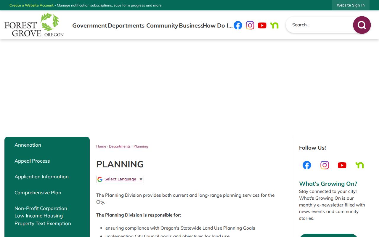
The Planning resource can explain zoning or historic-property context. It is not a people directory and should not be used to infer a household from a parcel's land-use category.
Forest Grove Neighbor Voter Limits
Oregon My Vote is a self-service tool for an elector to check, view, or update that person's own registration and ballot information. It uses name and date of birth on the self-service route. It is not a public street browser, and the research found no public Forest Grove feature that lists voters on a street. A statewide or less-than-statewide voter list has a separate request process and may be geographically scoped, subject to the documented rules and use restrictions.
Oregon law makes some registration-file fields inspectable or listable when no exemption applies, while withholding information such as birth month and day, Social Security number, driver-license number, signature copies, and ACP or safety-exempt data. Ballot choices are not revealed. A voter entry or participation fact must never be used to guess a person's political views or ballot choice.
Note: Oregon My Vote helps voters manage their own records, not researchers browse a Forest Grove block.
Forest Grove Block History
Older block research needs an address-continuity check. Friends of Historic Forest Grove reports that local street names changed in 1892 and again in 1949. An old newspaper, directory, Sanborn map, or deed search can fail if it uses only the current street name. Compare the historic name before deciding that a nearby parcel or a past reference is unrelated.
Forest Grove's 1993 historic-property project identified, inventoried, and evaluated more than 300 properties in the original 1872 Town Plat. The surveys can include architectural and historical detail, past or current use, historic names when known, photographs, and vicinity maps. They are building biographies for the original town-plat area, not a modern block roster. FHFG research help also identifies central Forest Grove Sanborn coverage from the 1880s through the 1930s.
Forest Grove Neighbor Record Contacts
When a map, property page, or City file leaves an uncertainty, contact the office that maintains the record. These public contacts can explain access channels and document types. They should not be asked to validate a private household or reveal protected information. The lack of a verified neighborhood-association roster in the research means county and city custodians are the documented contacts for this block-focused work.
Washington County Cartography
Parcel, tax-lot, and assessor-map context.
503-846-8871
Cartography and GIS
Assessment and Taxation
Property-tax and public-access questions.
503-846-8741
Washington County Assessment and Taxation
Forest Grove Planning
Zoning and land-use context.
503-992-3227
Planning resources
Community Development
Historic-property and development context.
503-992-3229
Forest Grove staff directory
County Recording is the next channel when a deed, mortgage, lien, or other recorded-document copy is needed. The Recording Office is at 155 N First Avenue, Room 130, Hillsboro, and its phone is 503-846-8752. It can provide the copy and access route, while title questions still require review of the relevant recorded documents.
Free lobby-computer viewing, self-printing, staff-copy, and certified-copy channels are all documented by the Recording Office. The City Recorder is the local request route when a City-held planning, permit, ordinance, or archive item is not available online. A clear request identifies the address, date range, document type, and desired delivery method. That lets the custodian locate a record without treating a neighbor inquiry as a request for private information.
Forest Grove Neighbor Privacy Limits
Forest Grove neighbors are not documented by a public household roll. Property ownership, tax mailing contacts, a permit applicant, a historic building reference, and a voter-list process all answer different questions. Protected property names and addresses can be suppressed, and Oregon's Address Confidentiality Program provides a mail-forwarding and voter-address exemption route for qualifying participants. A missing public result may reflect a lawful protection or a source limit, not an invitation to search around it.
The Oregon address-confidentiality information describes the safety protections that can affect public records. For a City-held document, the Forest Grove public-records process is the correct route for asking whether an inspectable record or copy procedure exists.