
Finding Forest Grove Addresses Along a Street
The most reliable Forest Grove street-by-street route begins with the address, not a person's name. Washington County Public Access turns a situs address into a property ID, map number, and legal description. That gives the search a stable parcel reference. Use the property page as the starting point, then use the map and recording channels to test what the address can actually support. A listed owner, mailing contact, or permit applicant may be important, but none automatically identifies every person at the location.
For a current address, work from the county record outward. For a historical Forest Grove address, preserve the legal description and old street-name variants before moving back in time. That sequence avoids a common error: treating a familiar street number as if it were the permanent identifier for one parcel.
- Enter the street address in Washington County Public Access Property Search and save the property ID, map number, situs address, and legal description.
- Use the same situs address, account number, or tax-lot ID in Intermap. After selecting an object, open Additional Information and then Assessment & Taxation Information.
- Take the legal description and current acquisition clue to Washington County Recording for the deed and recorded-document trail.
- When the public-research computer period ends, use the Washington County historical inventory to move into deed books, direct and indirect indexes, or microfilm.
- For dated household clues, ask the Forest Grove City Library History Room to check a name or address in its directories, then compare the period with newspapers or census material.
Note: A current parcel trail is a starting point for Forest Grove address research, not a substitute for a verified household record.
Forest Grove Property Search by Street
Washington County's free guest property portal has one combined search box. It accepts an address, tax-lot ID, or property identifier. Suggestions begin after three characters, and the quick list shows an address and property ID. The portal removes hyphens and periods before searching. A separate owner-name field was not exposed in the inspected interface, so a Forest Grove street search should use the address or parcel information already in hand.
Full results can show the situs address and legal description as well as the property ID. Optional columns include neighborhood code, abstract, subdivision, and property type. A selected property page may distinguish the situs from the mailing address. The first identifies the assessed parcel. The second identifies the tax contact, so it is not proof that the contact lives at the Forest Grove address.
| Portal field or control | How it works for an address search |
|---|---|
| Washington Property Search | Required to retrieve a result; accepts an address, tax-lot ID, or property identifier. |
| Quick Results | Shows address and property ID, with a See All Results row when more than ten matches exist. |
| Full result columns | Property ID, situs address, and legal description are available in the result view. |
| Optional columns | Neighborhood Code, Abstract, Subdivision, and Property Type can be selected. |
| Page size and export | Results can be sorted, shown in sets of 10 to 100, and exported as SearchResultsExport.csv. |
The Washington County Public Access Property Search shows the address-first entry point used in this Forest Grove address workflow.
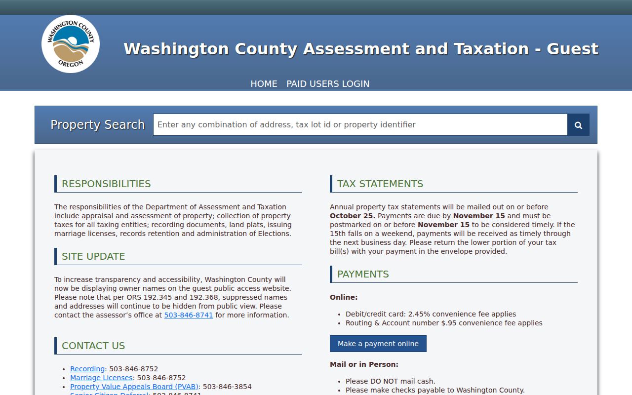
The property ID from that result is the useful handoff to maps and deed research. Protected names and addresses remain suppressed under ORS 192.345 and ORS 192.368, so an absent entry does not prove that no protected record exists.
Forest Grove Street Records in Intermap
Intermap is Washington County's parcel and tax-lot mapping channel for Forest Grove. It searches by situs address, account number, or tax-lot ID. Once a map object is found, the Additional Information panel and its Assessment & Taxation Information link connect the map view to the assessment record. This makes Intermap a useful bridge when several parcels share a street name or when an address needs to be checked against its map context.
Tax maps are property-tax maps, not survey boundaries. County Cartography warns that a tax lot is not necessarily a legal lot of record. For plats, survey corners, roads, section maps, benchmarks, and donation-land claims, use Survey Explorer instead. It is a research database for land and survey evidence, not a resident roll.
Note: Forest Grove tax maps provide property-tax context and cannot settle a surveyed boundary or title question.
Forest Grove Street Record Coverage
Address-keyed sources serve different roles. The Forest Grove address angle is strongest when the source is used for its actual purpose: the assessment record identifies the parcel, a map adds geographic context, recording documents support an ownership sequence, and a permit report dates project activity. Treat those results separately so a street search does not turn a narrow record into a claim it cannot support.
| Address-keyed source | Forest Grove keeper | Useful result | Access and limit |
|---|---|---|---|
| Assessed property detail | Washington County Assessment & Taxation | Situs, map number, legal description, values, and owner where open | Free guest search; not a complete household roster. |
| Intermap parcel view | Washington County Cartography | Tax-lot geography, nearby lots, and map context | Address, account, or tax-lot search; tax-purpose map only. |
| Survey Explorer | Washington County | Plats, surveys, corners, roads, and section information | Research database for boundary questions, not occupancy. |
| Recorded documents | Washington County Recording | Grantor, grantee, date, book or record reference, and legal description | Public research computers confirm Book of Records index and images from 1979 forward. |
| Permit-issued reports | Forest Grove City Archive | Project and permit dates, address, and work context | Monthly reports help date work; they do not establish who lived there. |
| Historic sources | Library, FHFG, and Stewart Collection | Directory, newspaper, map, and building-history context | Best for dated clues, not a current street roster. |
Each layer uses a different key. A property ID and legal description link the modern property page to recorded documents. A map number gives context. A historic street name connects older Forest Grove records that may not recognize a current address.
Forest Grove Parcel and Street Terms
A few terms make the Forest Grove address trail easier to read. The county's labels are not interchangeable, especially when a modern address is carried into a deed or plat search. Keep the parcel identifiers with every note, rather than relying on a street number alone.
- Parcel
- A tract represented for assessment and tax administration. Its county identifier helps connect the address to property records.
- Situs address
- The physical address assigned to the assessed property. It differs from a mailing address used for tax contact.
- Plat
- A recorded map that can show lots, blocks, streets, and other land divisions. Survey Explorer is the county route for plat and survey research.
- Criss-cross directory
- An address-oriented directory arrangement used to locate a dated entry by address rather than beginning with a name. The City Library's directory holdings are the appropriate Forest Grove historical channel.
A Forest Grove city directory collection can supply an older address clue, but its entries should be read as period evidence. It does not replace current county property or recording research.
Forest Grove Streets Changed Twice
Forest Grove street names changed twice, in 1892 and again in 1949. Friends of Historic Forest Grove identifies this as a key problem for address research. A negative result in an old directory, newspaper, Sanborn map, or deed index may simply reflect the former street name. Record both versions before deciding that a property cannot be found.
The same local research help places central Forest Grove Sanborn coverage in the 1880s through the 1930s. Those maps can show building footprints, approximate property lines, and sometimes an occupant or store name. They are especially useful after a historic name check, when an older address entry needs to be placed in the present-day street pattern.
Note: The historic-name check matters most when a Forest Grove address crosses the 1892 or 1949 changes.
Forest Grove Street Deeds at Recording
Washington County Recording is at 155 N First Avenue, Room 130, Hillsboro. It records deeds, mortgages, contracts, tax liens, marriages, and domestic partnerships. For an address trail, bring the property ID, map number, legal description, and any known acquisition detail. The office does not give legal advice or select a document for a visitor, but its recording and copy channels are the reliable route for the document trail behind a Forest Grove parcel.
Suite 130 public-research computers confirm Book of Records index information and images from 1979 to the present. Lobby viewing is free. Self-printing costs 50 cents per page; staff copies cost $4 for the first page and 25 cents for each additional page, while a certified copy adds $3.75 to the staff-copy charge. Requests by email must be paid before copies are mailed. Earlier material belongs to the historical-index and deed-book path rather than an assumed free web grantor-grantee search.
The Washington County Recording Office is the documented counter and copy channel for Forest Grove street records.
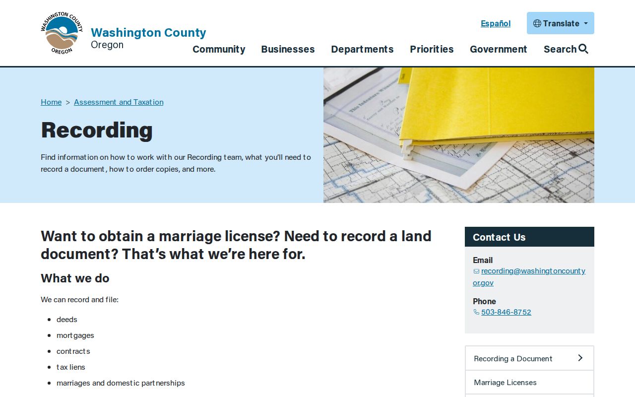
The public terminal period is confirmed in person, while older direct and indirect indexes and deed volumes are described in the Oregon State Archives Washington County inventory.
Forest Grove Street Permit Dates
The Forest Grove City Archive's Permits Issued collection adds project timing to a street address. Monthly permit-issued reports were visible from May 2022 through June 2026 when the collection was inspected. The archive search uses Keywords, Archive, Time Period, and Date Range controls. Its landing page does not provide a dedicated individual-address search, so an address query may need a City Recorder request or a review of the month-named reports.
A permit application can record a site address, tax map or parcel, owner or applicant information, valuation, work description, and issuance facts. That can date construction or an alteration. It is not a deed and not an occupancy list. For material not online, the City Recorder's public-records request route is the documented fallback.
Note: Forest Grove permit records date work at an address but cannot establish a complete household history.
Forest Grove Voter Limits by Street
Oregon My Vote is for an elector to check, view, or update that elector's own registration and ballot information. It is not a public Forest Grove street browser. A statewide or less-than-statewide voter list may be requested through the Secretary of State, with electronic delivery by SFTP and a stated ten-business-day expectation. Hardcopy, labels, and other non-electronic formats go through the county elections official.
A geographic request does not make voting history a measure of residence, political belief, or ballot choice. The record has statutory restrictions, and protected or safety-concern voters may use the Address Confidentiality Program or the voter-address exemption process. Use the My Vote self-service route only for its stated purpose, and consult the Oregon voter-list request process for the formal access channel.
The Oregon My Vote start screen illustrates the self-service route available to an elector.
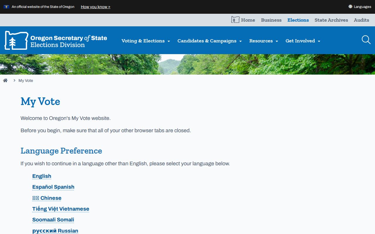
The screen is not an address-based Forest Grove street directory and does not authorize a search for other voters.
Forest Grove Street Search Limits
A Forest Grove street search cannot establish every household member. Property data may show an owner or tax mailing contact, while maps show parcel context and deeds show a title sequence. None of those sources is a complete current list of people at an address. Protected names and addresses can be withheld from the property portal, and a no-result should never be treated as proof that a person has no protected record.
Use address records for family history, estate or heir questions, civic research, property history, and personal safety concerns handled lawfully. When the goal is a backward address trail instead of a current street review, the Forest Grove previous residents record path follows the deed and historical layers in more depth.
Lawful use. Forest Grove address records support personal, lawful research. Do not use a name, parcel, or address detail to stalk, harass, intimidate, or harm anyone.